92,000km²
of seagrass. And shrinking.
The largest seagrass meadow ever mapped
The third-largest barrier reef on Earth. Pine forest that grows nowhere else. Almost everything that makes this country extraordinary is thinner than it was a generation ago. Veritasylva is a conservancy with one purpose: to keep it standing.
What's actually being measured

Where the work happens
Real Bahamian habitat, not stock photography: pine forest, mangrove creek, reef and open water, surveyed and restored by Bahamian fieldworkers.
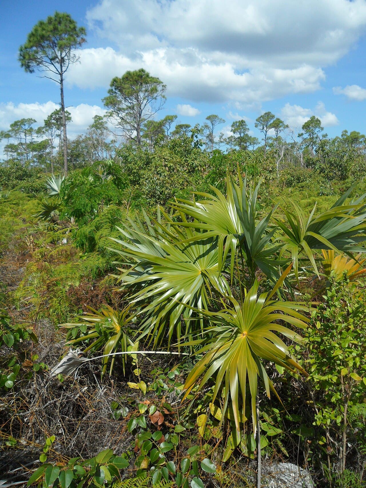
Pine forest
Slender trunks over a thatch palm understory, on islands where this pine grows nowhere else on Earth.
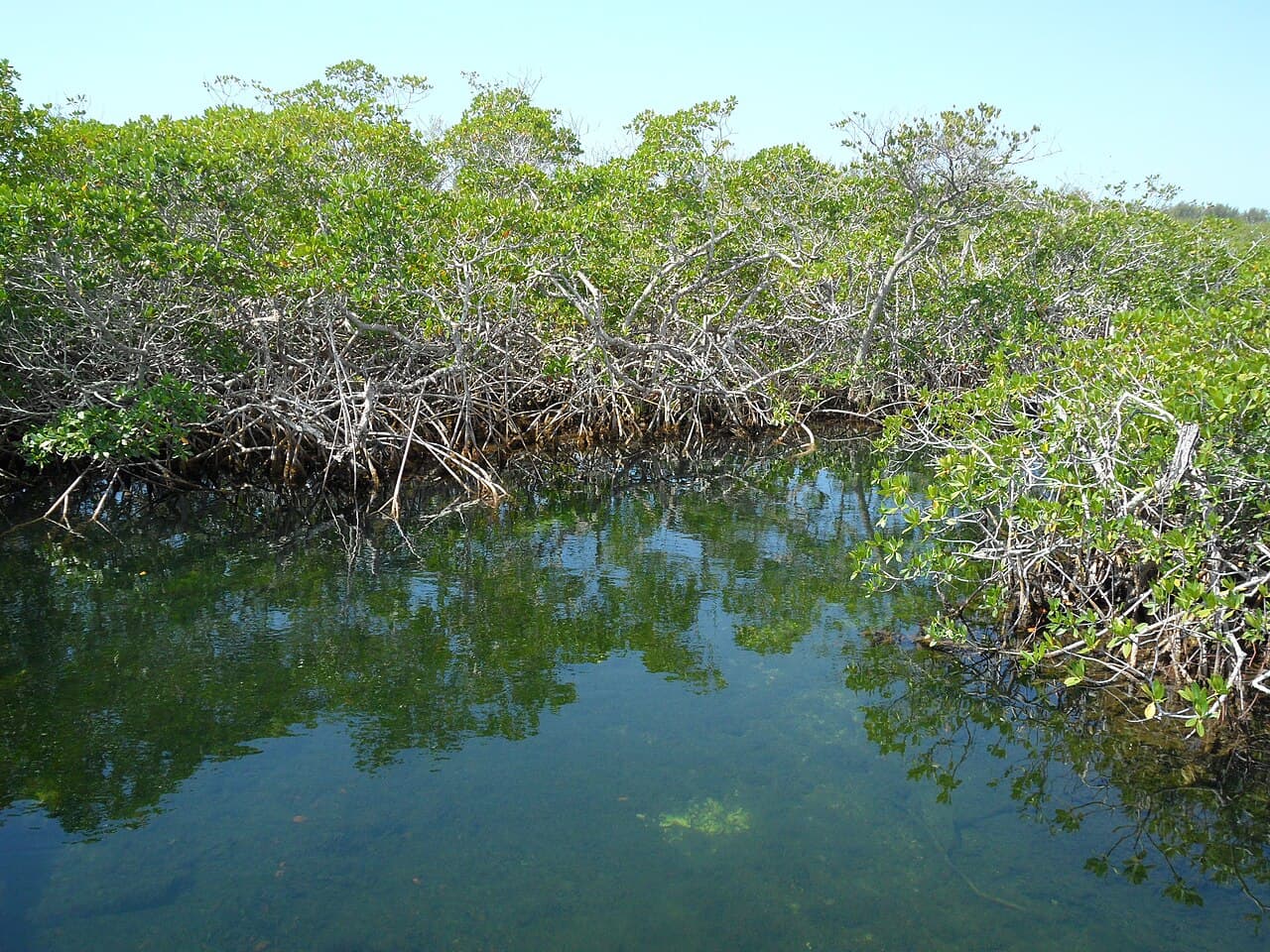
Mangrove creek
Red mangrove roots threading still, shallow water, a nursery for the snapper and lobster that later fill the reef.
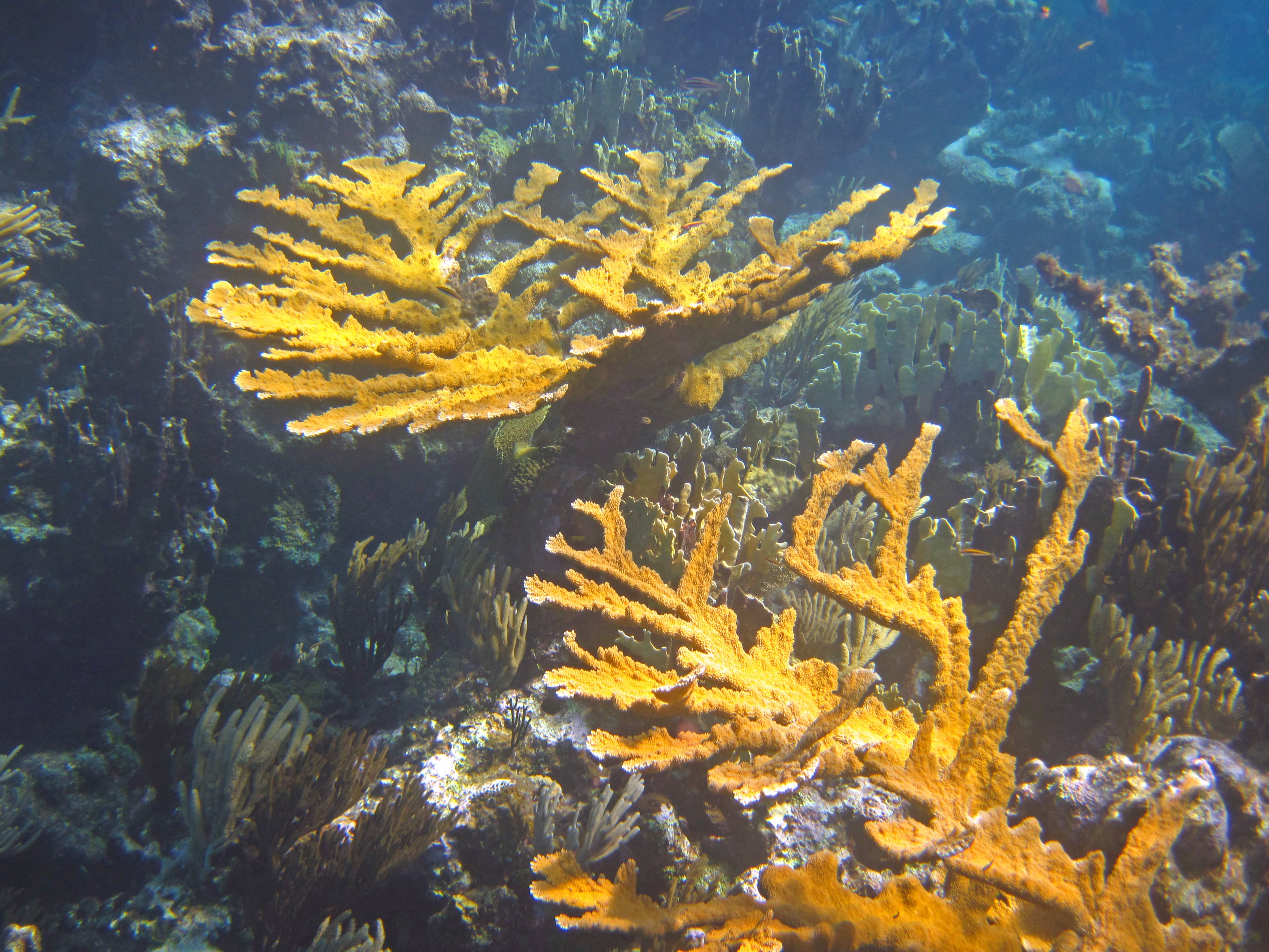
Living reef
Branching elkhorn coral in the shallows above Andros, part of the third-largest barrier reef on the planet.
This country is worth defending before it is gone, not after.
The pine holds the freshwater beneath it, the mangrove holds the sediment, and the reef holds the shoreline in place. Those three systems are not separate, and we work on all three.
We start where the loss is fastest and the habitat least replaceable, alongside the Bahamian fishers, divers, foresters and researchers who already know this ground. We publish what we learn, including what goes wrong.
Five working landscapes, one system
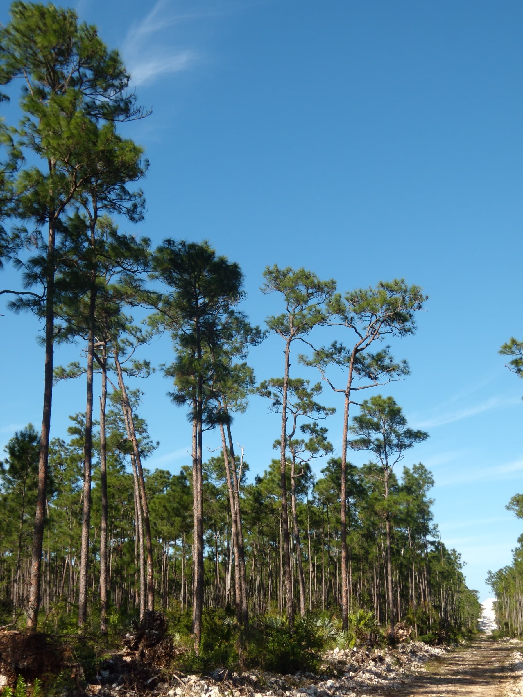
Land
Pine forest
Caribbean pine covers the northern islands as a subspecies found nowhere else, and it needs fire to regenerate.
The land work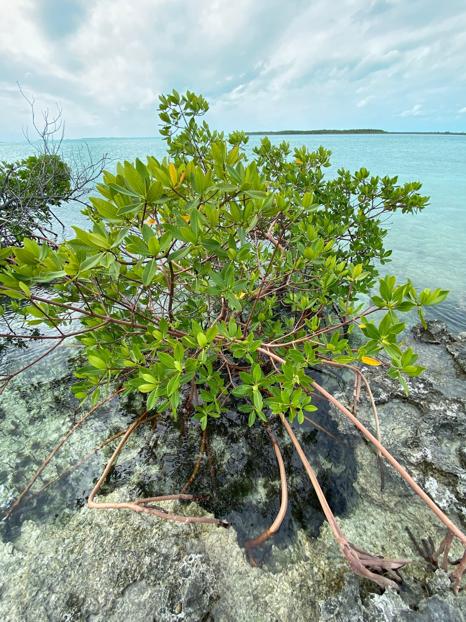
Wetland
Mangrove creek
Red mangrove takes the first hit from every storm and shelters the young snapper and lobster behind it.
The water work
Meadow
Seagrass
The Bahama Banks hold the largest seagrass meadow ever mapped, and a carbon store of global consequence.
The numbers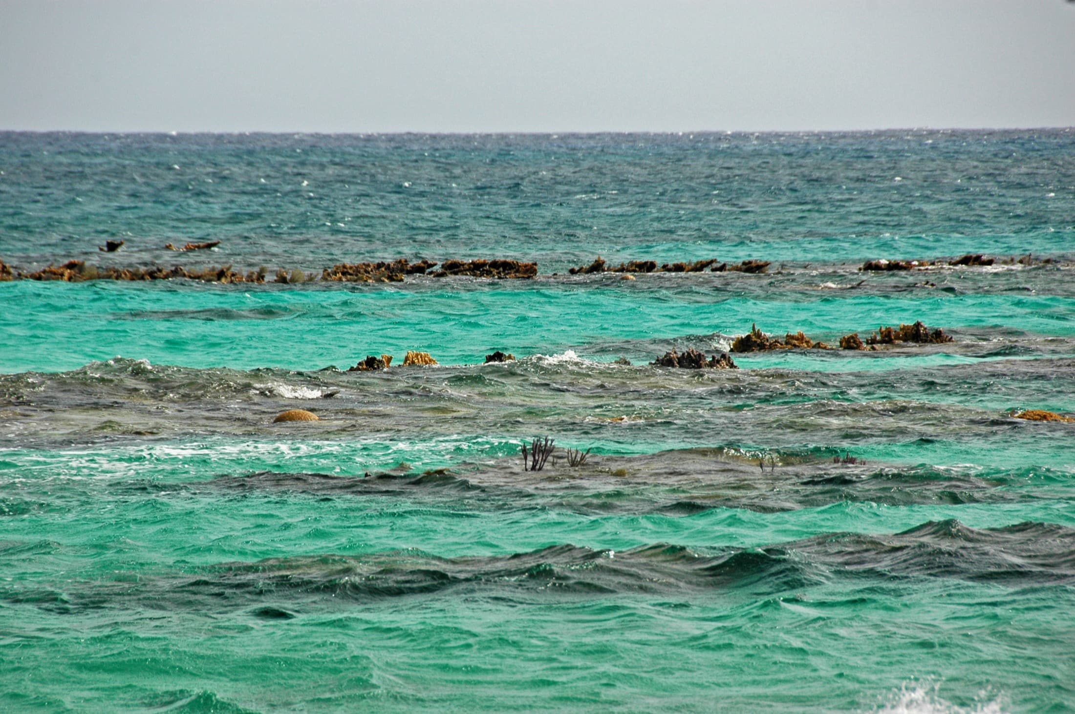
Reef
Andros reef
190 miles of living seawall, the third largest on the planet, dropping into a trench a mile deep.
The reef work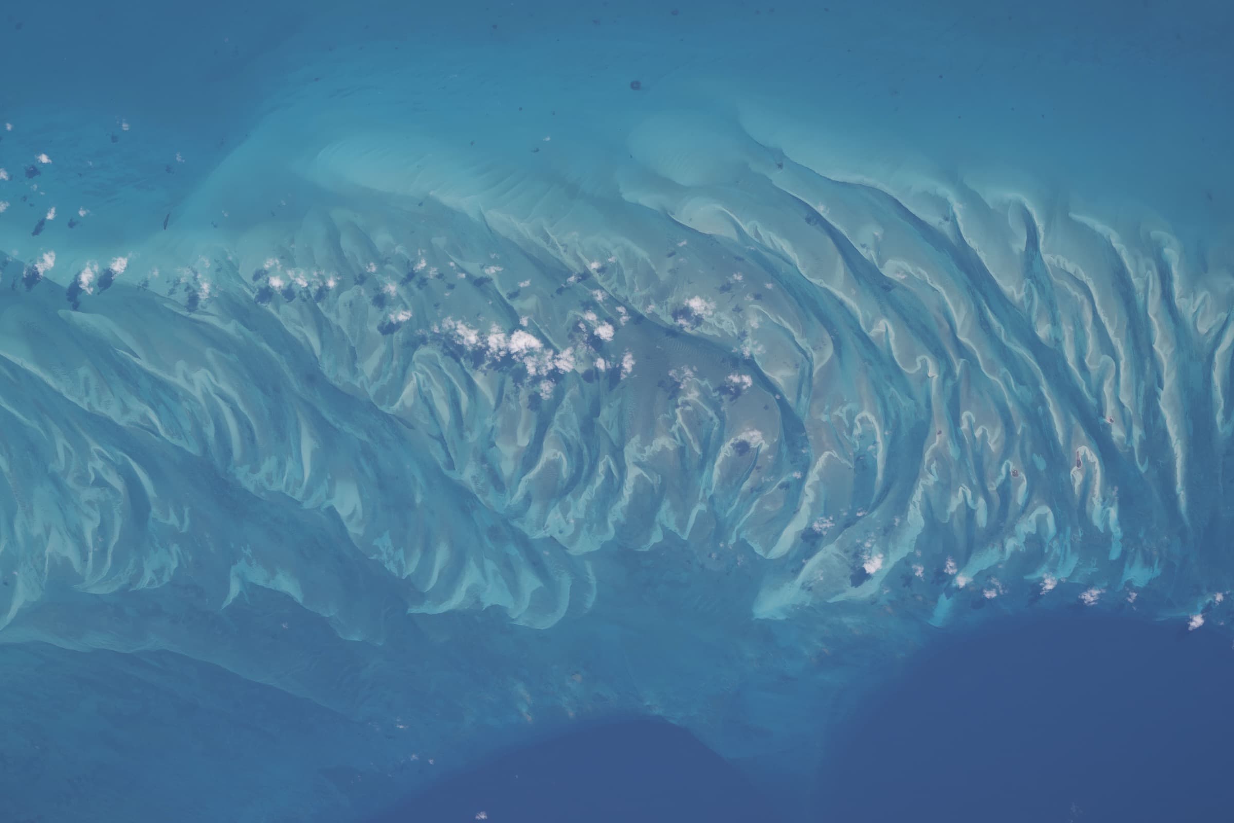
Shallows
Sand flats
Bonefish flats and blue holes thread the banks between the three islands we start with.
Where we focusLand
77%
Share of Grand Bahama's forests damaged when Hurricane Dorian stalled over the island for two full days in 2019. Salt water pushed inland by the surge kills Caribbean pine outright, well past the reach of the wind.
Bahamas Forestry Unit
0left
Bahama Warblers remaining in Grand Bahama's pine forest after Dorian. A bird that lived nowhere else on the island, gone in a single storm. The species holds on in Abaco's pine, in the same forest type, facing the same weather.
Bahamas National Trust
Water
92,000km²
The Bahama Banks hold the largest seagrass meadow ever mapped. Roughly 40% of the world's known seagrass, storing up to a quarter of all the carbon that seagrass locks away anywhere. It was found by strapping cameras to tiger sharks and letting them swim the banks.
Nature Communications, 2022
20%
Of its nearshore waters The Bahamas placed under protection by 2021. One of the most ambitious marine commitments in the Caribbean, and one that still needs wardens, boats, surveys and salaries behind it to mean anything on the water.
Caribbean Challenge Initiative
Reefs
190miles
The Andros Barrier Reef runs almost the length of the island. It is the third-largest barrier reef on Earth, home to more than 160 species of fish and coral, and it drops away on its eastern edge into the Tongue of the Ocean, a trench more than a mile deep.
Bahamas National Trust
160+ species
Fish and coral recorded on the Andros Barrier Reef, from the reef crest down into the Tongue of the Ocean. A nursery, a storm barrier and a livelihood for Bahamian divers and fishers, all in the same 190 miles of reef.
Bahamas National Trust

Lose the seagrass and the reef, and you lose the sharks, the conch, the grouper, and the coastline that shelters everyone who lives here.
The case for acting now
Come build it with us.
Register now, and we'll write to you directly the moment giving opens, with the specifics: what it funds, and how to take part.